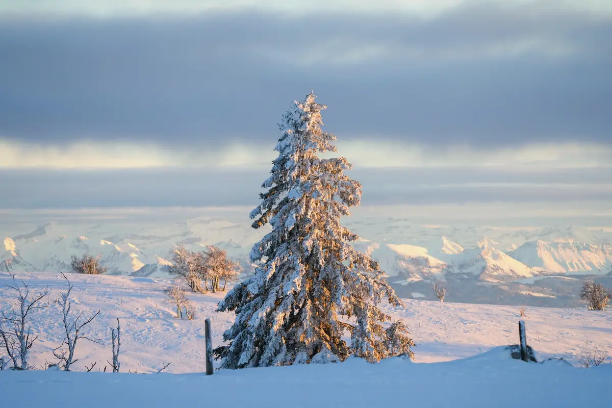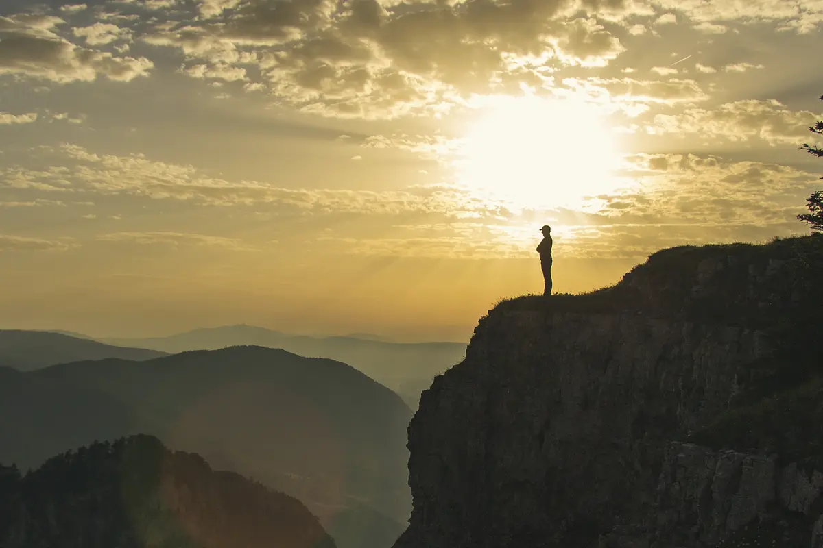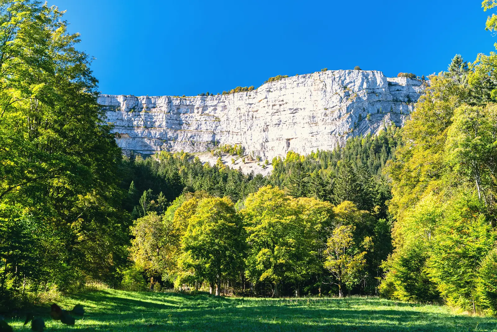
The Creux du Van is the most dramatic landform in the region: a vast natural amphitheatre nearly a kilometre across, its curved wall of cliffs dropping some 150 metres in a clean arc. It straddles the Vaud–Neuchâtel border high in the Jura, and walking the rim, with the whole cirque falling away at your feet, is one of those views that does not photograph as well as it feels.
The walk
The classic outing is a loop of about 15.5 km and 4 hours from Les Rochats, around the top of the amphitheatre and back. Shorter approaches are possible from car parks nearer the rim if you want a quicker visit. The walking itself is not technical, but the cliff edge is unfenced: keep back from the drop, and skip it altogether in fog or high wind. You may well share the high pastures with the ibex that live here.
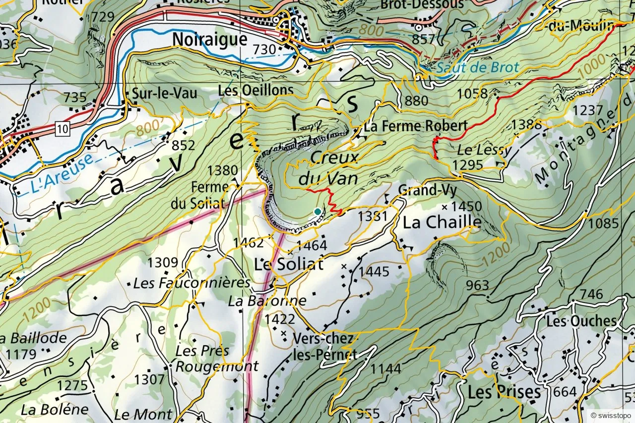
The exact stages and the official signposting are maintained by the regional tourism office (linked below); the marked trails are also shown on the swisstopo map above, which you can open full-screen to plan your own variation.
Getting there
The Creux du Van takes a little planning car-free. From Yverdon-les-Bains you can reach the Vaud side by train to Sainte-Croix and PostBus toward the rim, or approach from Noiraigue on the Neuchâtel side, a steeper but well-known route up. See getting here for trains to the region.
By car, parking, the easy option
Getting there by car. From Couvet or Provence the road leads to the Le Soliat car park, 5 minutes on foot from the rim of the Creux du Van. From Gorgier or Bevaix you reach the Grand’Vy car park, 15 minutes from the rim. At the bottom of the cirque there is a car park at the Ferme Robert, from Noiraigue. Parking outside the official car parks, for example in the meadows, is prohibited.
In winter, November to April, winter tyres or snow chains are compulsory on the road between Provence and Couvet, and the upper roads are not cleared of snow. Park then at the Chez les Favre car park, 40 minutes on foot from the Creux du Van.
The easy option, with children. From the Le Soliat car park it is 5 minutes to the rim: the view over the cirque, the Alps and Lake Neuchâtel, without the long loop. The edge is unfenced, so keep children by the hand. Suckler cows graze the pastures on the rim, and the tourism office advises leaving your dog at home.
Eating. The Ferme-Restaurant du Soliat, 300 m from the rim, is open daily from the end of April to the beginning of November. The Ferme Robert at the foot of the cirque is open from April to mid-December, closed Sunday evening, Monday and Tuesday, except in July and August.
Weather and webcam. MeteoSwiss local forecast for Couvet. The Creux du Van webcam, at 1,430 m by Le Soliat, is listed by the Val-de-Travers tourism office.
Sources: Neuchâtel Tourism, access and parking · Le Soliat · Ferme Robert · Goût & Région, webcams.
Good to know
- Season. Best May to October; the rim is exposed and dangerous in poor visibility.
- Safety. The cliff edge is unfenced. Keep children and dogs close, and stay back from the lip.
- Source. Distances, timing and the official route are from the regional tourism office: Yverdon-les-Bains Region. Map data © swisstopo.